Bing Maps PCF Control

Bing Maps PCF Control

Model-driven Apps    Canvas Apps    Power Pages
License is Present    Managed Solution Available
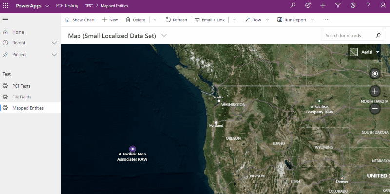
A control that allows you to display view information containing latitude and longitude information with Bing Maps.

bing maps

Author: Richard Wilson          

You might be interested in these PCFs

Google Maps Control
A control to display a Google Maps using a string as input for the search.

         
google maps maps

Google Maps Marker Clusterer
A control to render a view of records on Google Maps using the location information (lat/long) ag...

         
google maps cluster

Share Of Wallet
A control to combine interactive map visualization with detailed opportunity analytics.

         
azure maps wallet dataset

Google Maps Grid
A control to render a view of records on Google Maps using the location information (lat/long) ag...

         
google maps grid

Select SVG
A control that shows an SVG-image and lets you select objects in that image (after you set up the...

         
svg maps

Google Maps Autocomplete Fluent UI PCF
A control that lets you add a Google Places autocomplete input field to your model-driven app.

         
google maps address autocomplete