WherePCF

WherePCF

Model-driven Apps    Canvas Apps    Power Pages
License is Present    Managed Solution Available
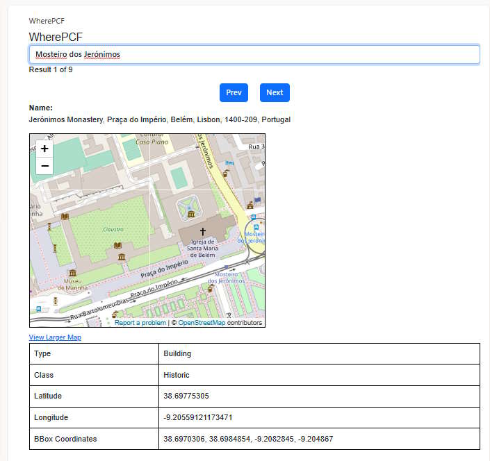
A control to embed a map based on OpenStreetMap data.
With this PCF, users are empowered to effortlessly explore and discover desired locations using Natural Language. Seamlessly integrating with the robust open source public API, specifically the esteemed https://nominatim.openstreetmap.org, this PCF harnesses its capabilities to procure an extensive list of locations that perfectly align with the user's natural language query.
By doing so, it unveils an immersive experience by presenting not only the complete name of the locations, but also their precise geographic coordinates, enriching street maps, and insightful categorization of each retrieved place.


maps openstreetmap

Author: Pedro Esteves        

You might be interested in these PCFs

Google Maps Autocomplete Fluent UI PCF
A control that lets you add a Google Places autocomplete input field to your model-driven app.

         
google maps address autocomplete

Canvas App GeoData Search PCF
A control built for Canvas App powered by Azure Maps. Works in GCC, GCC High, and DoD tenants.

         
azure maps geodata

PCF Azure Maps
A control that displays a dataset as pins on Azure Maps.

         
address azure azure maps maps

Google Maps Street View
A control to render Google Maps Street View using the location information for an account (lat/long)

         
google maps street view

Google Address Autocomplete
A cntrol for Canvas Apps to get Address Suggestions using Google Maps Services.

         
google maps address autocomplete

Google Maps Marker Clusterer
A control to render a view of records on Google Maps using the location information (lat/long) ag...

         
google maps cluster